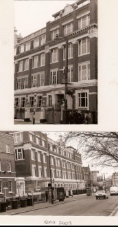
The Local History article ‘From Farmyard to Factory Floor’ traces the historical development of the QAS site at Clapham Common based on an unusually complete set of maps and general surveys of the locality, and the author references many images in the text.
This page shows all the images.
Back to Article 4
The link above will take you to the article, and another link is below the gallery images, at the bottom.
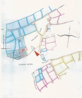
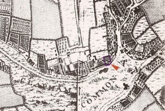
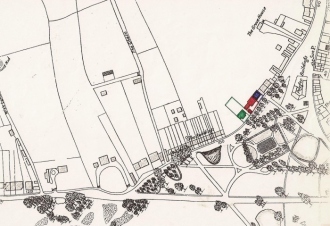
Fig1. George West House location
The Brayley Map c. 1725, City of London, London Metropolitan Archives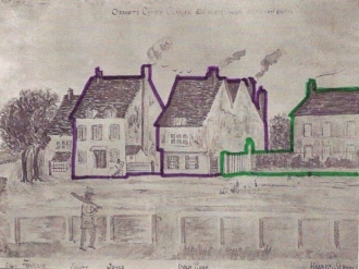
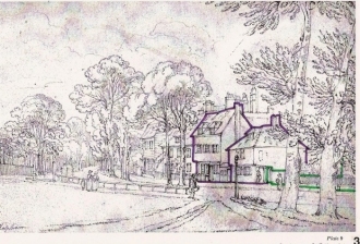
Fig5 Other early buildings,
Seventeenth-century farmhouse and other early buildings. Early nineteenth-century sketch, possibly by a child from the Hawkes School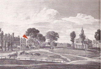
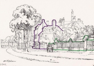
Fig7 The Powell drawing
shows the west gable end of the house with the other buildings of the group beyond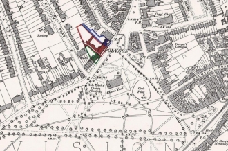
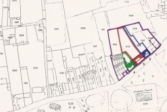
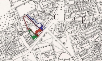
Fig14 By 1893, The OS Map of 1893
By 1893, the OS Map indicates that the Ross company had already built various outbuildings in the garden.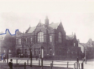
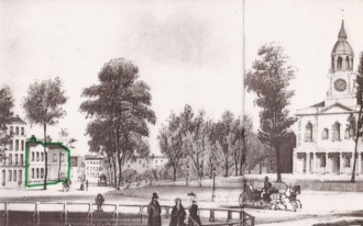
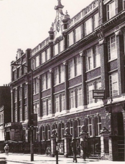
Fig16 The Clapham Public Library
designed by E.B. I'Anson. View of the library c. 1890 showing part of No. 2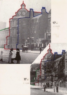
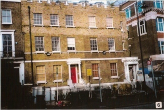
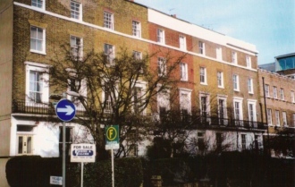
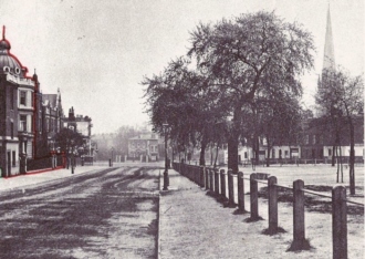
Fig17 Building at No. 4
(A) postcard of 1908 looking westwards showing Nos.2-4, (B) a few years earlier before the tree had been cut down.Back to Article 4
